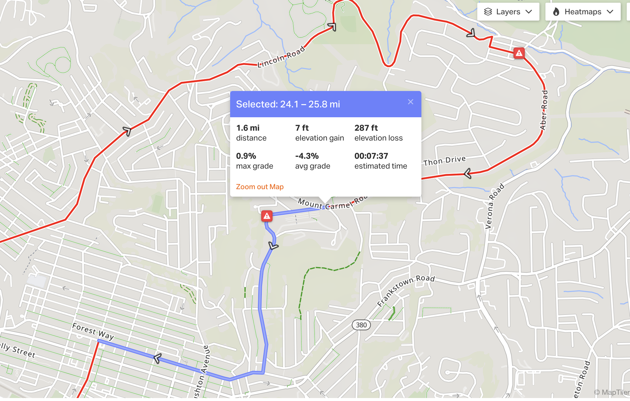
New Route to Mt Carmel
This afternoon (September 29) I went to test an alternative route to Mt. Carmel. It goes East through Homewood, then climbs up through Lincoln Park, where it meets Mt. Carmel. There are several long alleys that run parallel to Hamilton Ave and Frankstown Rd. These can be used to really cut down on time spent riding next to cars. I remember seeing this in the map part of the fourty mile route for Pedal PGH that I skipped. It’s much less prominent in the RWGPS heat map, so I didn’t consider it before.
The climb up Blackadore St. felt a touch more intense than the climbs I tried in 001-testing-routes-to-green-belt.html. I did, however, take a wrong turn that led to me having to climb the middle 100 ft twice… There were basically no cars on this climb, though! And I did it right around rush hour. So, I think this might be the way I end up going for the final ride.
Here’s the route I rode on RWGPS: https://ridewithgps.com/trips/337923706
